Welcome to Apac District
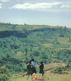
Dear visitors, well wishers and citizens of Uganda, we welcome you to Our District Website. Our District is situated in the Northern region of Uganda and Lango Sub-region in Uganda. The largest town in the district is Apac which is located approximately 62 kilometres (39 miles), by road, south-west of Lira, the largest city in the Lango sub-region.